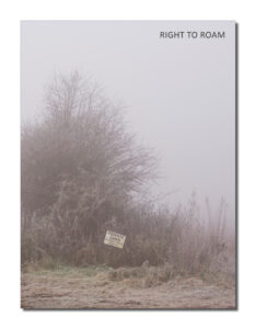
This mini feature showcases one of the eighteen open submission portfolios selected for inclusion in our printed journal based on the theme of the right to roam
Prompted by the open call I set out to visit all the access land near my home in the North Wessex ANOB and to document my experiences. My first foray immediately highlighted that these are poorly delineated areas with no signage and I had a constant battle to find and stay within the legal boundaries. I consider myself quite a competent map reader but on my first trip I still ended up inadvertently trespassing. I quickly found that access land is usually of little or no agricultural use and therefore it is often also difficult to walk. In my picture of “Walbury Hill Fort” I’m standing on access land but the next open access area is the difficult walking of the steep hill face above the tree line and below the earthworks of the fort.
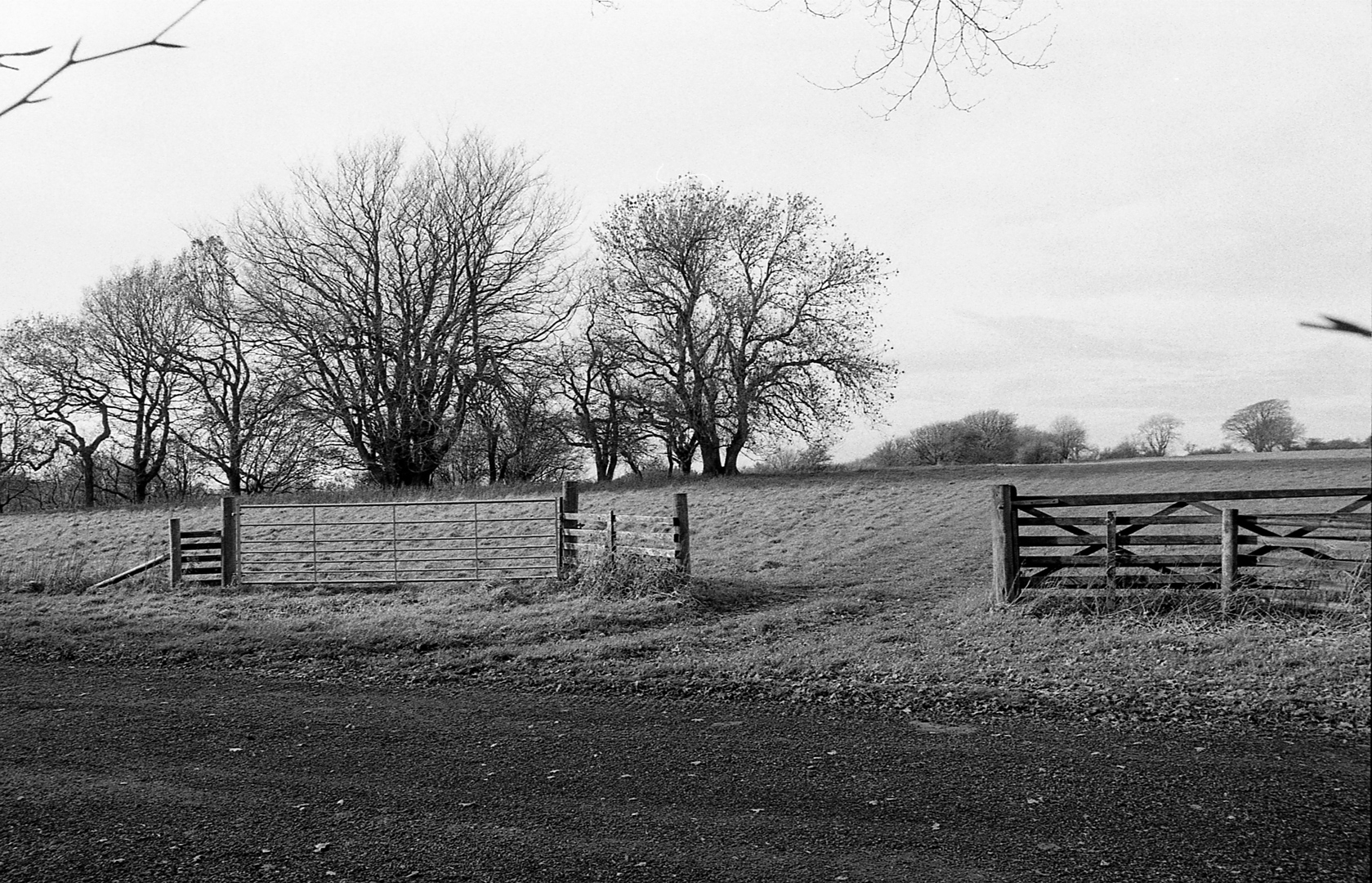
Simple symbolic signs are available to mark the borders of access land, but I have yet to see one. These would help and would clarify boundaries. “Open Access Temptation” is an example of the challenges I encountered. The land through the closed gate is onto open access land and that through the open gate is a trespass. There is no longer a hedge in the field beyond, making good map reading is essential. TIP: The free Defra Magic mapping (https:// magic.defra.gov.uk) provides helpful CRoW overlays on OS maps and Ariel Photography of all scales.
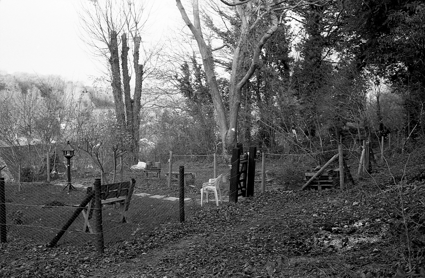
I realised designation of an area does not provide any protection for the land. In two instances I came across garden encroachment. There is little to stop this and in rarely walked areas it may have little immediate impact. Nevertheless, gardens are protected private spaces and so these changes nibble into the access areas often changing their character. In “Private Common” the gardens of several houses have been extended to fence in infrequently accessed common land. More brashly in “Privatised Viewing Space” the view over the Kennet Valley has been reserved by the creation of a large fenced area within open access downland. How should conservation of the countryside and open access interact? At present they don’t and this seems to be a challenge that will only grow over time.
There are some wonderful open spaces to roam. However, the lack of support for landowners and perhaps their desire not to encourage too much access means locating and accessing areas can be difficult. It would be great if the OS maps highlighted preferred entry and exit points to all access land outside National parks. Once on the land I still found challenges. A clearly marked fence on the OS map seen in “No Crossing Provided” proved a barbed wire headache. The landowner does not have an obligation to provide a crossing.
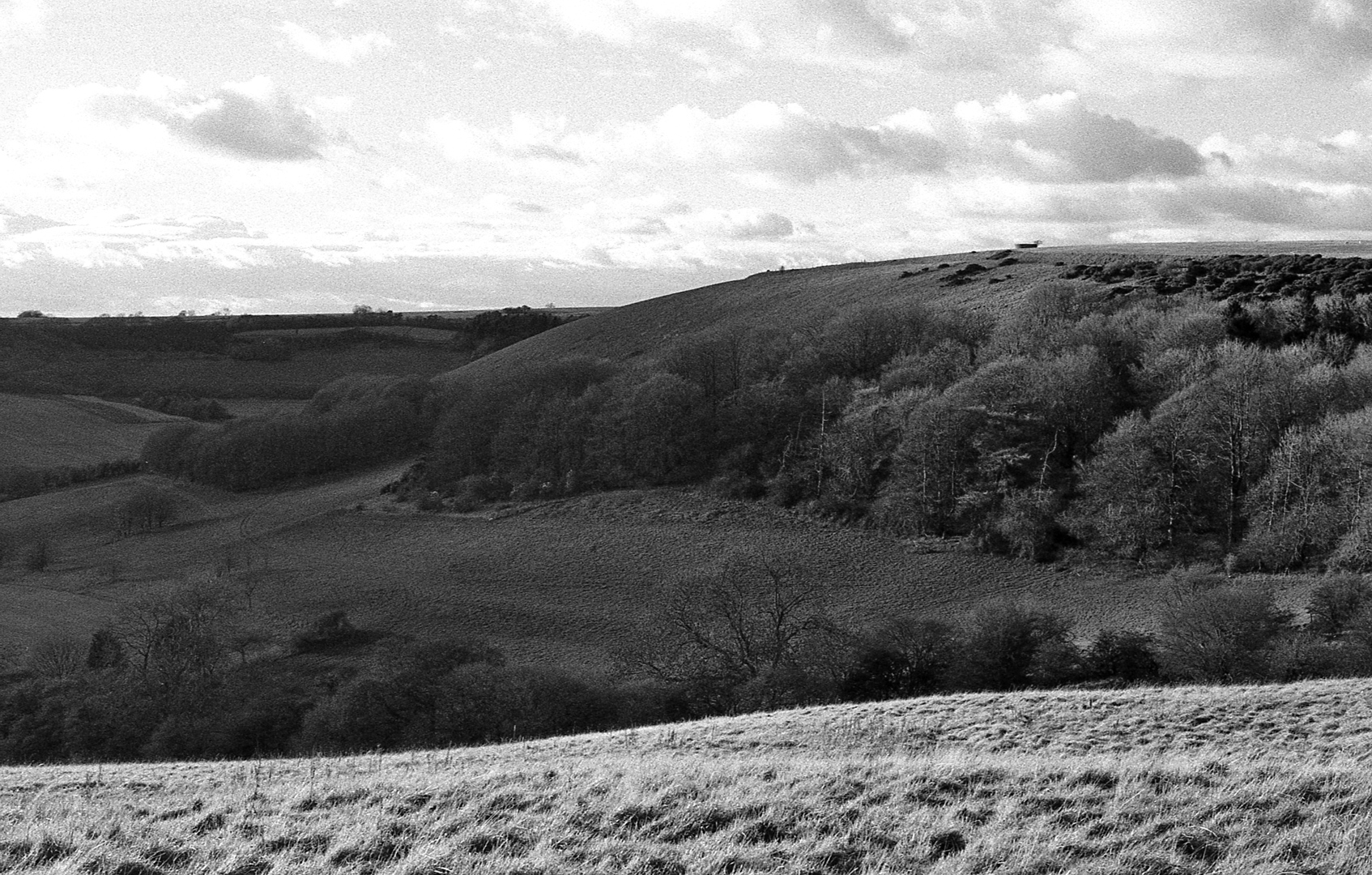
My experience has been one of a lot of map checking as boundaries can seem completely arbitrary. A bit more subtle management would go a long way to keep walkers on the right track. There are some amazing views to be enjoyed as on “Wexcombe Down” and… I’ll be back.
The full set of images from the open submission are shown below (click to view image larger in the original format).
Instagram: @ian_onahillroad
Twitter: @ian_onahillroad
CREDITS
Unless otherwise stated, all words and images in this article are © Ian Wallace
THE JOURNAL
Our biggest, most content packed, and socially current publication to date, exploring the theme of the right to roam. Featuring an introduction by our very own co-founder Rob Hudson and a selection of work from 37 contributors, including the one featured above. Click on the image of the journal cover below to take you to the journal’s information and ordering page.